Faial from Coast to Coast - Faial
Trail Info
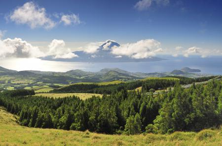
This trail takes us into the time of the island’s formation, passing by volcanic cones and chimneys, craters and caves, mysterious and characteristic places of the beautiful Azorean volcanic landscapes.
It starts in the parish of Ribeirinha, the oldest and most eastern point of the island. In fact, the trail runs on one of the transversal faults of the great submarine ridge, located towards the West of Faial - the Mid-Atlantic Ridge - a true scar in the middle of the Atlantic Ocean.
It resulted from the last great continental separation and oceanic expansion that began 300 million years ago, along which volcanoes get installed, forming islands at the surface.
This route starts exactly where the island’s first piece of land was formed due to eruptions of the old Ribeirinha Volcano of about 800 000 years of age that originated the volcanic complex with the same name.
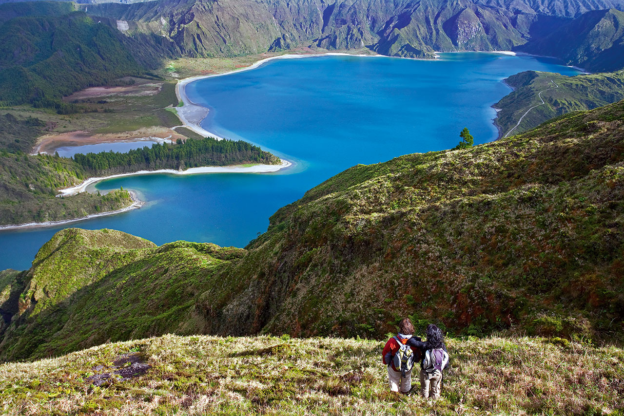
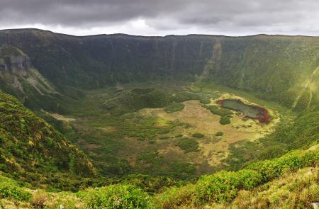
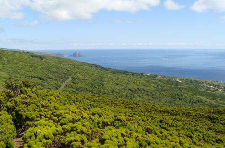
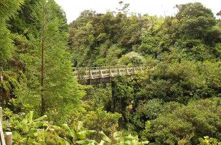
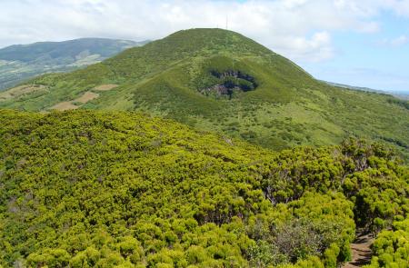
The trail reaches an altitude of 1000m, passing by old paths and by Faial’s Caldeira, the crater of a dormant volcano with a diameter of 2 km and a depth of 400m. It was originated about 500 000 years ago and the successive eruptive phases built the central zone of Faial, named as Cedros Volcanic Complex. This Caldeira, covered by luxuriant Laurel Forest vegetation, in which you can try the feeling of living on these mist islands, has collapsed throughout its different eruptions, whose most recent one occurred only 1200 years ago, covering 70% of the island with pumice stone.
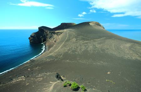
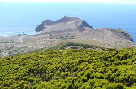
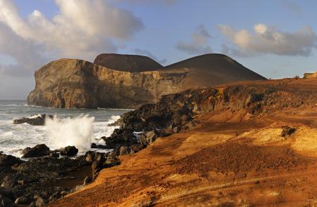
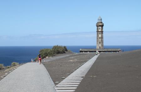
The unique characteristics resulting from the island’s young age make this trail that crosses the island from the Eastern coast to the Western coast even more attractive. You will pass by luxuriant landscapes typical of these islands, until you will reach the authentic moon desert of Capelinhos Volcano landscape, frequently called “the last volcano of the line” for it is the most recent element of a fissural volcanism that produces an authentic alignment of cones.
This process was initiated 15 000 years ago and ends at Capelinhos Volcano that resulted from the eruption of 1957/58. This volcano was responsible for the emission of 175.000.000m3 of ashes, forming the present Capelo’s Volcanic Complex, Europe’s most recent volcanic peninsula, where this trail ends
