Fajã da Caldeira do Santo Cristo

Flores

Great Route Flores (Stage 2 closed)

Trail Info

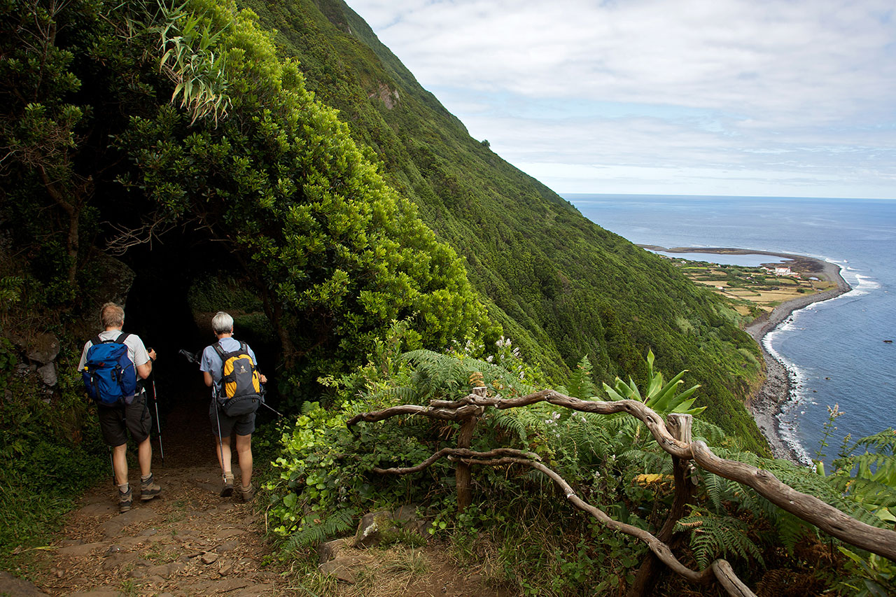
The Great Route of Flores travels along the coastal landscape of the island, connecting the main village Santa Cruz to the civil parish of Lajedo, located on the southwest coast, through a linear route with high difficulty level. Some parts of the trail have steep descents, such as the one in the Rocha do Risco, therefore this section is forbidden for people with vertigo.  

Flores

Location and Climate

The island Flores (occidental group), accounts for the most western landmark of Europe.

With an area of 143.11 km2, a length of 17 km and a width of 12.5 km.

Position: 31º59' W and 39º25' N.

The climate is that of a mild sea climate as on the other islands, influenced by the Gulf stream, with an average temperature of 17º C (63º F).
English

Fajã de Lopo Vaz

Trail Information
Category - Circular
Difficulty - Medium
Extension - 3.4 km
Time average - 2h
Trail Info

This trail is located in the southern coast of the island of Flores and starts at the picnic area of Fajã de Lopo Vaz and it is the only access to this location. This area was one of the first areas of the island where people settled. Its designation comes from the name of one of the settlers “Lopo Vaz”, responsible for the construction of the stone staircase, which is part of this trail. Both the Fajã de Lopo Vaz area and the adjacent area of Ponta da Rocha Alta are geosites and belong to the Azores Geopark. These detritic platfforms result from landslides from the high cliffs nearby.

Miradouro das Lagoas - Poço do Bacalhau

Trail Information
Category - Linear
Difficulty - Hard
Extension - 7.3 km
Time average - 3h00
Trail Info

This small linear route starts at the central plateau of the island of Flores, where you will be able to see several explosion craters (maars), that later turned into lakes. The route goes west towards Fajã Grande and ends near Poço do Bacalhau, which is a 100m tall waterfall.

Lajedo - Fajã Grande

Trail Information
Category - Linear
Difficulty - Medium
Extension - 13.1 km
Time average - 3h30m
Trail Info

This walking route starts in the village of Lajedo and runs along the southwestern coast of the island, through the lavic fajãs of Fajãzinha and Fajã Grande. All of these places are important for their scenic beauty and for their relevance from a natural, cultural and geological standpoint. The village of Lajedo was the first to be settled in the western part of the island, later followed by the villages of Mosteiro, Fajãzinha and Fajã Grande.

Ponta Delgada - Fajã Grande

Trail Information
Category - Linear
Difficulty - Hard
Extension - 12.9 km
Time average - 4h30
Trail Info

This small linear route connects the village of Ponta Delgada to Fajã Grande. The route runs through the northeast area of the island, showcasing its breathtaking and diverse landscapes. Due to its uneven morphology, steep slopes and its proximity to cliffs, it’s not recommended for people who suffer from vertigo.

Flores

NATURE

The pink island

GEOGRAPHY

The island of Flores is 16.6 km long and has 12.2 km at its maximum width, which translates into a surface of 141.4 sq. km. Together with the island of Corvo, which is 17.9 km away, it forms the Western Group of the Azores Archipelago. The European Continent has its westernmost point on this piece of land where 3 793 people live (2011 data). At an altitude of 911 metres, the Morro Alto is the island’s highest point and is located at 39°27’48’’ latitude north and 31°13’13’’ west.

Subscribe to RSS - Flores