Great Route of Graciosa - Graciosa
Trail Info
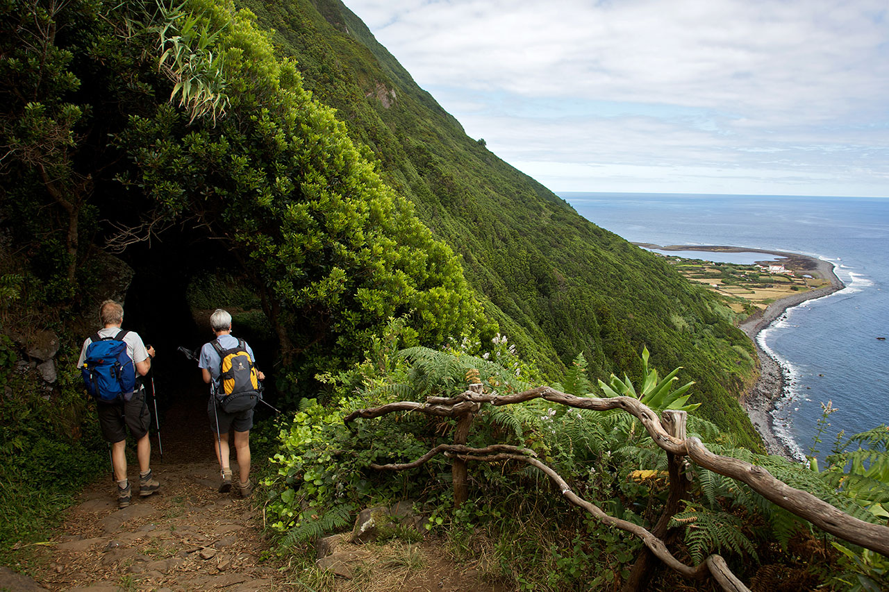
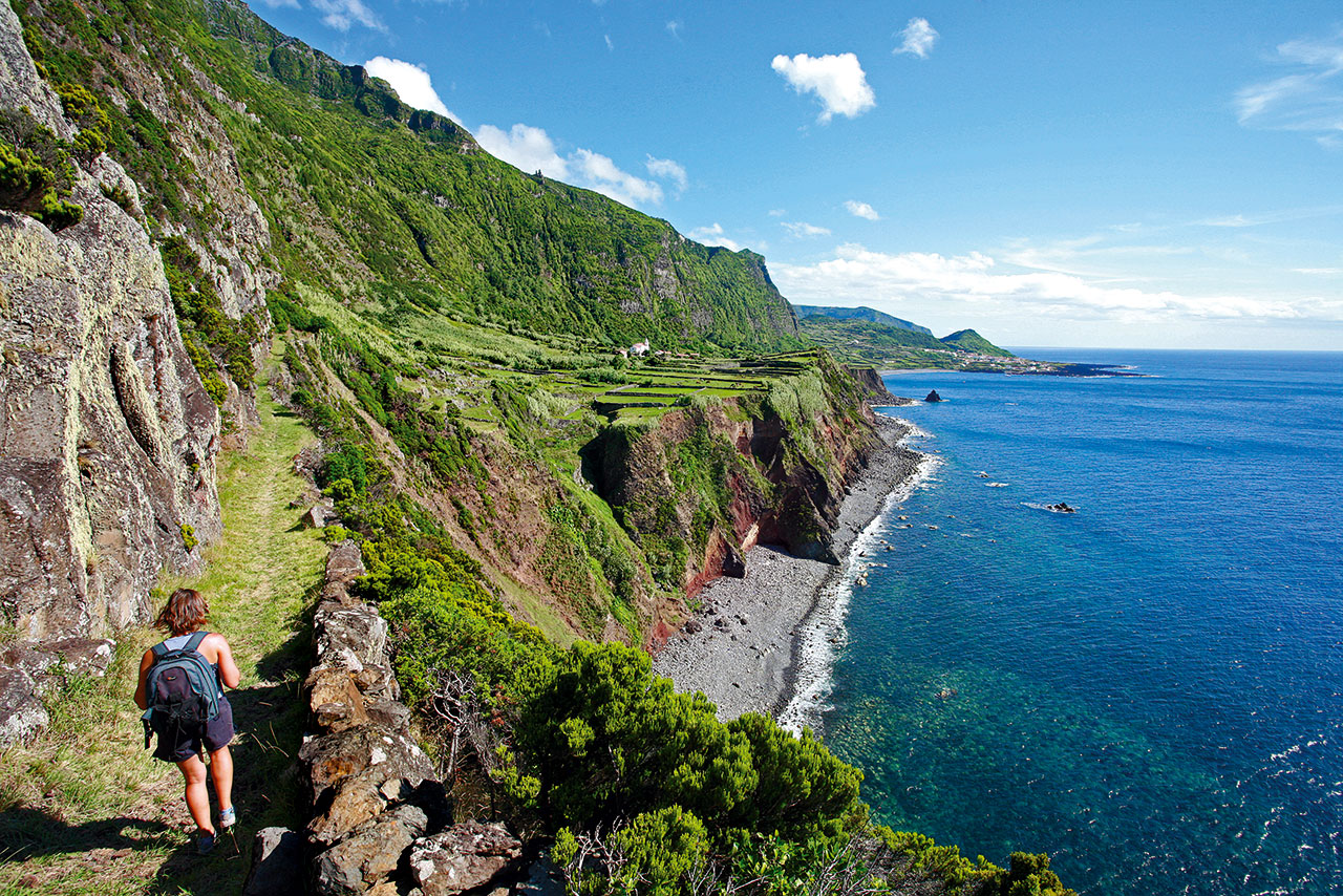
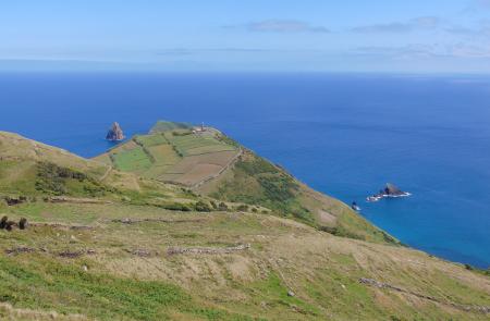
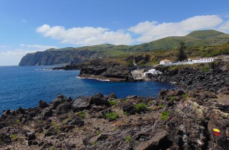
The Great Route of Graciosa covers much of the island through a circular trail that alternates between coastal landscapes, especially several islets, and the inland volcanic landscapes over a total length of approximately 40 km.
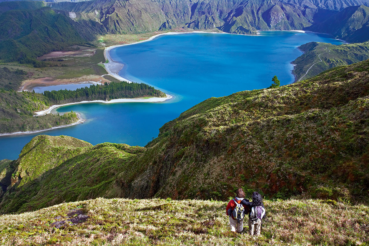
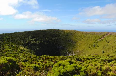
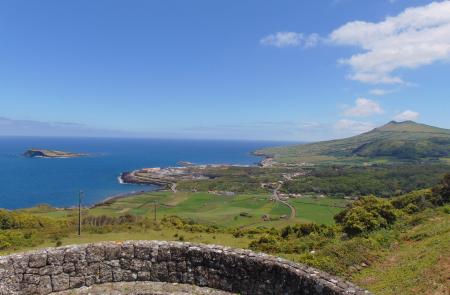
This trail is divided into two sections, each with around 20 km. The first one, connecting the area of Barra (Santa Cruz da Graciosa) and the village of Luz, allows you to admire the island’s east and south coasts, which are lower in the area around Praia and feature higher and steeper cliffs at the cape Ponta da Restinga, with the Nature Reserves of the Islets of Praia and Baixo standing out. During this section, you will also be able to enjoy the most iconic volcanic landscape of the island – the Caldera, where you can visit the Furna do Enxofre, a major volcanic cave that is about 40 meters high and 194 meters long and has a lake inside.
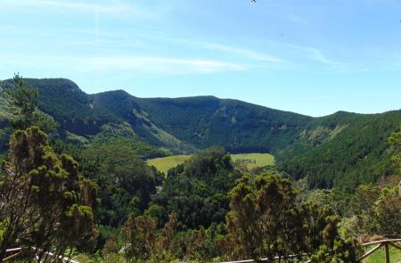
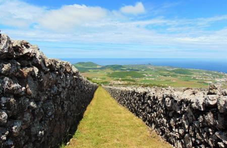
The highlight of the second section, which connects the village of Luz to the starting point in Barra, is the Caldeirinha de Pêro Botelho, a 25-meter deep volcanic grotto located in the hills of Serra Branca, which is a true viewpoint over much of the island, including the valley between the central highlands and the Caldera highlands and the tracks left on the ground by old oxcarts in the area of Fontes.
You should plan this route according to your physical condition, interest and availability. Between the sections, there are places where you can stay overnight, especially some old windmills that were restored and are now used as rural tourism establishments.
Outline
Trail Information
Stage 1: Barra / Praia / Luz (East)
Duration: 07h00
Extention: 17,7km
This first stage, beginning in the area of Barra, Vila de Santa Cruz, shows great part of the East area of the island, stopping in Luz.
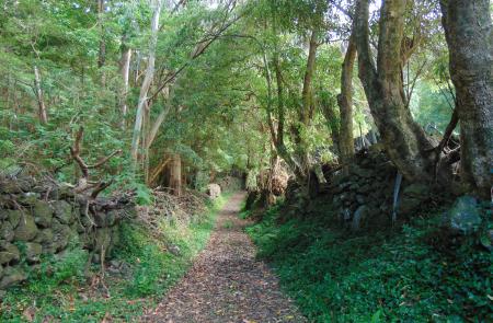
Follow the marks along the coast by a road accessing pastures, choose right on the fork passing by Fontes and some windmills. At the second fork follow right paying attention to the relheiras (ancient marks done by the ox carts) printed on the ground. Cross the main road (EN1-2) passing by a viewpoint with a view over the islet of Praia and to Caldeira. Go down the road until Lagoa and choose to go left (East), near the coast, until Praia where several mills were converted in spaces for rural tourism. Continue until you find a dirt alley that goes up to Caldeira. At the top, go left around a ridge, taking advantage of the view over the rest of the island. Arriving to the signs indicating the village of Luz, on the left, you can choose to go ahead and visit Furnas of Maria Encantada, d’Água, Abel and in the interior of the Caldeira, Furna do Enxofre, one of the main touristic attractions of the island. In this place, there are several connections with other points of the island through PRC 02 GRA Volta á Caldeira/Furna do Enxofre. Returning to the signs to Luz, go down the dirt road, crossing a wood of Australian Cheesewood (Pittosporum undulatum) that will give place to agricultural fields. Arriving to the main road, pass by the church and end the stage inside the village of Luz.
Stage 2: Luz / Caldeirinha / Barra (West)
Duration: 07h00
Extention: 22,3km
This second stage, begins in the area of Luz and ends in Barra, Vila de Santa Cruz.
Follow the road to Carapacho, turning right by a dirt alley until the shore line and continue as far as Baía da Folga. Pass by the Chapel of Santo António, returning to the village of Luz and from here, towards again the coast, until Baía do Filipe. Continue on the road turning left by a dirt road that goes up to Caldeirinha of Pêro Botelho. This road, accessing agricultural fields, pasture and vineyards crosses several times the main road (EN1-2). Go up Cladeirinha, with the Eolic Park on your left and go round this volcanic cone, enjoying the view from this high point. Follow the marks along the road, heading East, turning left by the alley of Jorge Nunes and, arriving to the main road, turn right towards Barro Branco. Here, chooses the road on your left that goes round the base of Serra das Fontes by a wood of Eucalytus (Eucalyptus globulus). Cross the main road EN1-2 towards Lagoa and follow on your left to a viewpoint with a view to the islet of Praia and Caldeira. Continue by a dirt road that after crossing the main road EN1-2 becomes a secondary road, focusing on the relheiras (ancient marks done by the ox carts) printed on the ground. On the forks, always choose right until you arrive to the area of Barra, place where the stage ends.
