Fajã da Caldeira do Santo Cristo

São Jorge

Fajã de São João - Lourais - Fajã dos Vimes

Trail Information
Category - Linear
Difficulty - Hard
Extension - 12 km
Time average - 4h00m
Trail Info

ATTENTION:

For safety reasons, please be informed that the route has been temporarily changed.

This change raises its difficulty level. Therefore, please assess whether the characteristics of the trail are suitable for your physical condition.

We urge all users to strictly follow the signage placed along the trail to ensure their safety and proper navigation throughout the route.
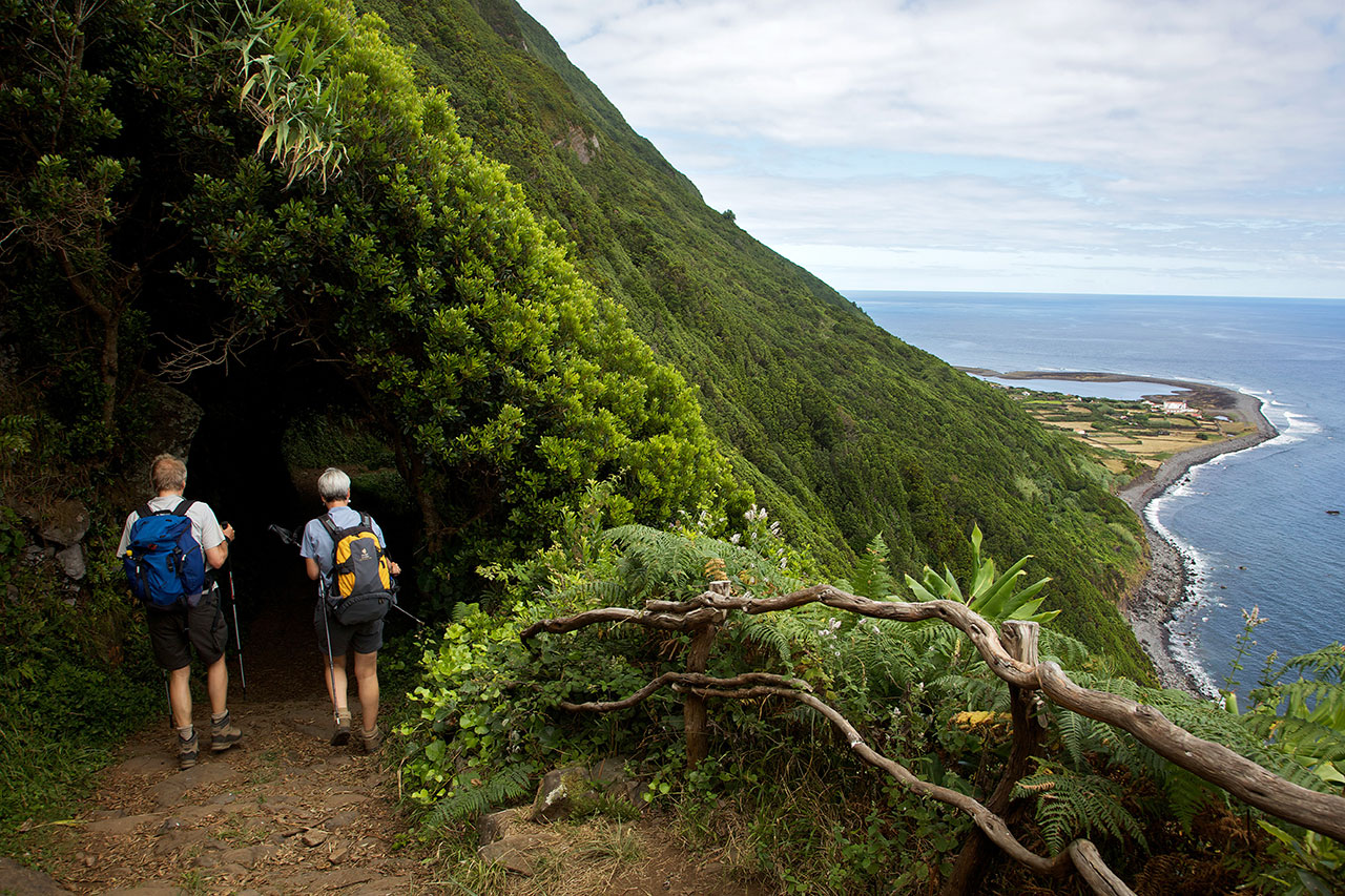
 

Serra do Topo - Fajã dos Vimes

Trail Information
Category - Linear
Difficulty - Hard
Extension - 5.5 km
Time average - 2h30m
Trail Info

This linear route begins near the Eolic Park of Serra do Topo and ends at Fajã dos Vimes. Along the trail and whenever necessary to cross a gate, always leave it closed.

Begin the trail along the regional road, heading South until you find a dirt road on your left, flanked by Hydrangeas (Hydrangea macrophylla).

Serra do Topo - Caldeira do Santo Cristo – Fajã dos Cubres

Trail Information
Category - Linear
Difficulty - Medium
Extension - 9.5 km
Time average - 2h30m
Trail Info

This route about 10 km length begins in the Eolic Park of Serra do Topo, passing by Caldeira de Santo Cristo and finishing at Fajã dos Cubres.

São Jorge

NATURE

The Brown Island

The elongated shape of São Jorge Island and the rhythmic sequence of cones that characterise its central part appear on the horizon as the wavy back of a prehistoric animal fast asleep. The plateau of the inner part of the island, where the volcanic cones that generated the island were born, gives way to high, steep cliffs that either come to an end in the deep blue sea or in small flat areas at sea level, the famous fajãs of São Jorge.

GEOGRAPHY

With a length of 54 km and a maximum width of 6.9 km, São Jorge Island features a long volcanic ridge stretching from northwest to southeast. The area of the island reaches 243.9 sq. km, and it is the home to 9.171 inhabitants (2011 data). The island of São Jorge is part of the Central Group and is one of the corners of the so-called "triangle islands" together with Faial and Pico, the latter of which is 18.5 km away. At an altitude of 1,053 m, Pico da Esperança is the highest point of the island and is located at 38°39'02'' north latitude and 28°04'27'' west longitude.

Pages

Subscribe to RSS - São Jorge